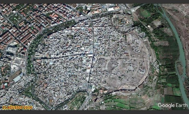
"Google Earth" updates views of Sur
The demolition at the Sur, center district of Diyarbakir was reflected in the updated photos of Google Earth.
 Google News'te Doğruhaber'e abone olun.
 Photos of Diyarbakır’s Sur district updated on ‘Google Earth’ where PKK barricaded and dig ditches then conflict took place and curfew was declared, and been on agenda for a long time.
It is seen that the updated images belong to the year of August 11, 2016, and it is noticed that many damaged buildings have been demolished and empty space has been left.
In the district where thousands of people displaced and the destruction after the conflicts reflected on the object from different angles. The point where the destruction studies of the town and the deplorable situation of history are clearer in the new photographs taken from the sky.
The photographs taken by ILKHA from the air in the month of April 2015 before the conflicts shows undamaged period of the city, while the new images of 2016 reflect the dimensions of the destruction.
Photographs taken from the sky resemble a city in Syria which according to the data of 2015 Sur's population was 120 thousand. (Vedat Aydın - ILKHA)


Bu haberler de ilginizi çekebilir
-
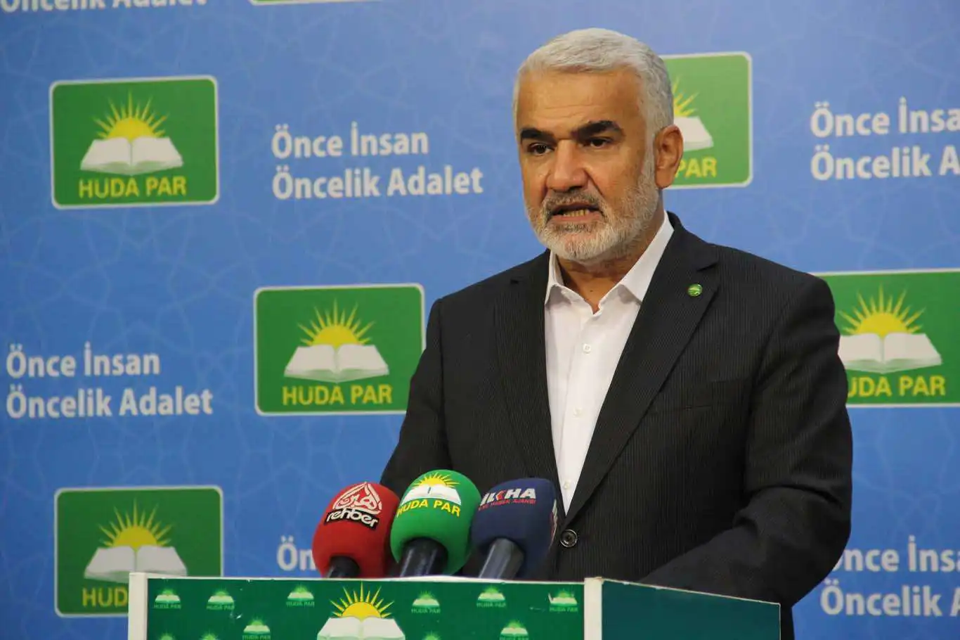
Zekeriya Yapıcıoğlu, the Chairman of HÜDA PAR, recently attended a memorial service in Istanbul for Abdülmecid Zindani, the late President of the Yemeni Scholars Assembly.
-
Amnesty International (AI) has issued a condemnation of the actions of US universities in response to student protests supporting Gaza.