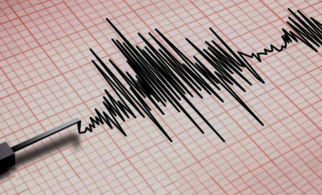
A 6.2 magnitude earthquake hits Pangai, Tonga
A strong 6.2-magnitude earthquake occurred 219 kilometers of West-Northwest of Pangai, Tonga at 06:40:07 GMT on Thursday, the US Geological Survey said.
 Google News'te Doğruhaber'e abone olun.
 The epicenter, with a depth of 14.5 km, was initially determined to be at 19.1419 degrees south latitude and 176.3218 degrees west longitude.
There is little potential for damage since there are no settlements within 100 kilometers, according to local sources.
On January 14, a very large eruption began on Hunga Tonga–Hunga Haʻapai, an uninhabited volcanic island and submarine volcano of the Tongan archipelago in the southern Pacific Ocean.
The eruption reached a powerful climax on the next day, 15 January. Hunga Tonga is 65 km (40 mi) north of Tongatapu, the country's main island, and is part of the highly active Tonga–Kermadec Islands volcanic arc, a subduction zone extending from New Zealand north-northeast to Fiji.
The eruption caused tsunamis in Tonga, Fiji, American Samoa, Vanuatu, and along the Pacific rim, including damaging tsunamis in New Zealand, Japan, the United States, the Russian Far East, Chile, and Peru.
At least three people were killed, some were injured, and many remain missing in Tonga from tsunami waves up to 15 m high.
Two people drowned in Peru when a 2 m (6 ft 7 in) wave struck the coast. Preliminary data indicate that the event was probably the largest volcanic eruption recorded since the 1991 eruption of Mount Pinatubo. (ILKHA)


Bu haberler de ilginizi çekebilir
-
After facing significant defeats on the battlefield, the Israeli war cabinet announced on Tuesday its decision to agree to a ceasefire with Lebanon.
-
The death toll from the collapse of a four-story building in Kariakoo, Dar es Salaam’s bustling commercial district, has risen to 29, following the discovery of nine more bodies, a senior official announced Tuesday.