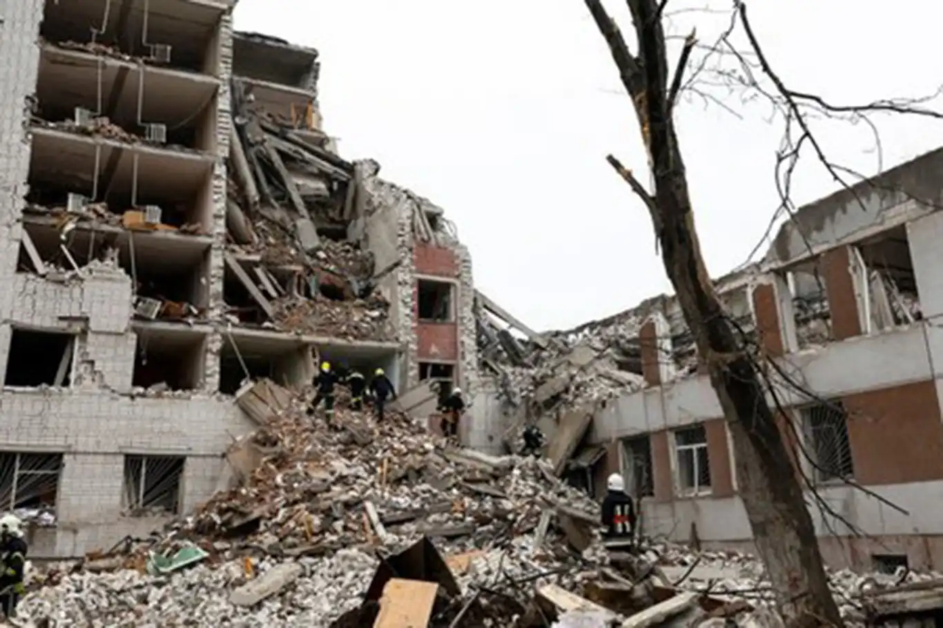
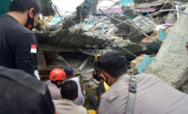
Death toll from Indonesia’s earthquake climbs to 36: Officials
A 6.2 magnitude earthquake rocked Indonesia's Sulawesi island early Friday, killing at least 36 people, levelling a hospital and severely damaging other buildings, Indonesian officials said.
 Google News'te Doğruhaber'e abone olun.
 More than 630 people were injured after the 6.2-magnitude quake, which triggered panic among the terrified residents of the island.
The epicenter of the quake was six kilometers (3.73 miles) northeast of Majene city at a depth of 10 kilometers, according to Meteorology, Climatology, and Geophysical Agency (BMKG).
Rescue teams are searching for victims under the rubble of a collapsed building following the earthquake.
Aftershocks could trigger a possible tsunami, the agency warned, urging residents in the area to take precaution and move to higher ground.
Sulawesi lies within the complex zone of interaction between the Australian, Pacific, Philippine and Sunda Plates in which many small microplates are developed.
The main active structure onshore in the western part of Central Sulawesi is the left-lateral NNW-SSE trending Palu-Koro strike-slip fault that forms the boundary between the North Sula and Makassar blocks.
On 28 September 2018, a shallow, large earthquake struck in the neck of the Minahasa Peninsula, Indonesia, with its epicenter located in the mountainous Donggala Regency, Central Sulawesi.
This event was preceded by a sequence of foreshocks, the largest of which was a magnitude 6.1 tremor that occurred earlier that day.
Following the mainshock, a tsunami alert was issued for the nearby Makassar Strait. A localized tsunami struck Palu, sweeping shore-lying houses and buildings on its way.
At least 4,340 people are estimated to have died as a result of the disaster and more than 10,000 others injured, of which 4,612 were seriously injured. (ILKHA)

Bu haberler de ilginizi çekebilir
-
HÜDA PAR General Secretary and Gaziantep Deputy Şahzade Demir, in a press conference at the Grand National Assembly of Türkiye on Friday, made significant remarks about the ongoing genocide in Gaza and called on the government to take immediate action.
-
Turkish President Recep Tayyip Erdoğan engaged in a phone conversation with Romanian President Klaus Iohannis today, addressing a spectrum of global and regional matters alongside the bilateral relations between Türkiye and Romania.